In August 5-10, 2007, wakwak climbing club climbed Mt. Taisetsu(2,290m), Mt. Tokachi(2,077m) and Mt. Frano(1,912m) .
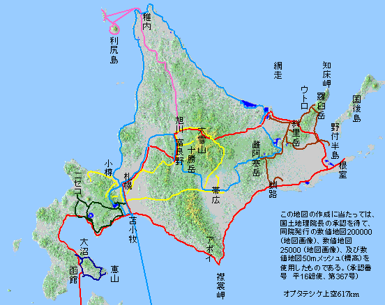
Map of Hokkaido
First Day, August 5
We flew to Shinchitose airport, then rented a car and moved to Asahidake hot spring.
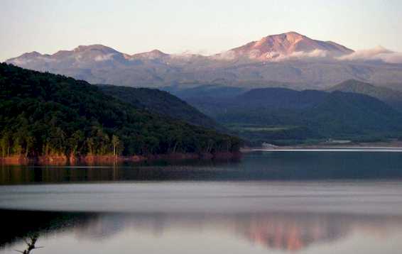
Mt. Asahidake viewed from Lake Chubetsu
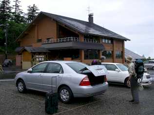
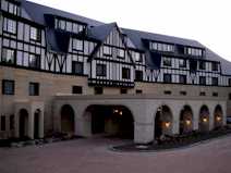 hotel |
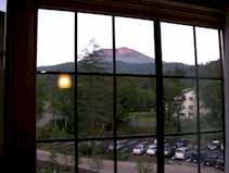 Mt. Asahidake from hotel room |
Second Day, August 6
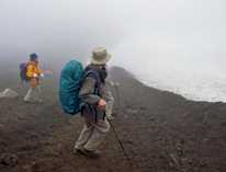
We getup at 4:00 the used Asahidake ropeway to go up to Sugatami station from where we can start climbing.
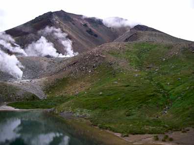
Mt. Asahidake viewed from Sugatami pond
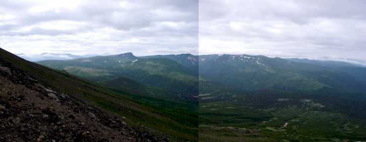
looking south from Mt. Asahidake
 at the summit of Mt. Asahi |
 snow in the south face of Mt. Asahi |
Rain started falling and cold.
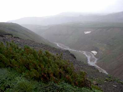
valley of river Akaishi
Mt. Kurodake
![]()
at Ishimuro
![]()
looking back Ishimuro from Mt. Kurodake
Finally we arrived Mt. Krodake at 14:30.
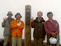
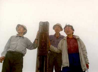
at the summit of Mt. Kurodake
We descended to Sounkyo hot spring in a heavy rain.
Third Day, August 7
We moved from Sounkyo hot spring to Hakuginsou lodge via Asahikawa city.
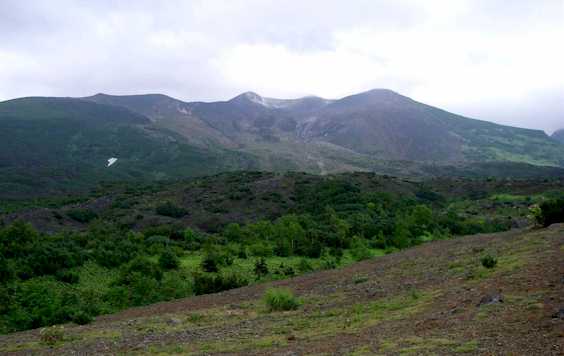
Mt. Tokachi
Forth Day, August 8
We changed our schedule and climbed Mt. Furano first as weather forecast is not good.
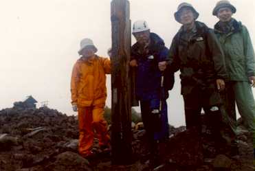
at the summit of Mt. Furano
Luckily, rain did not come.
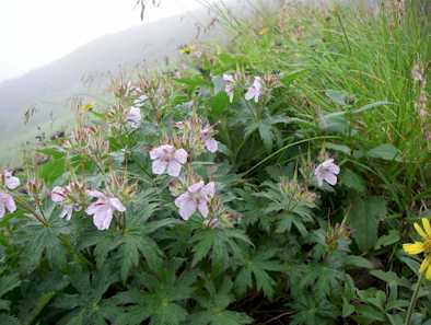
Geranium erianthum near summit of Mt. Furano
Mt. Furano was in full bloom.
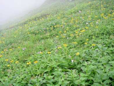
Arnica unalaschcensis in south face of Mt. Furano
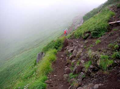
trail in south face of Mt. Furano
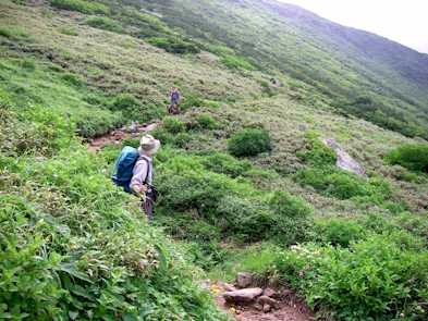
trail in north face of Mt. Furano
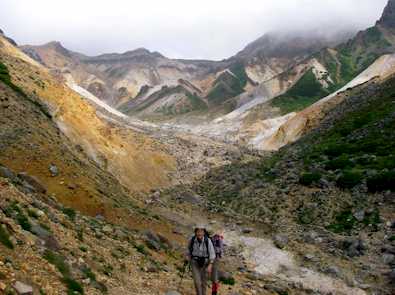
Ansei eruption
Fifth Day, August 9
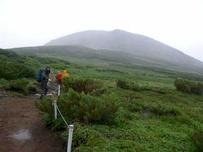
It was raining from dawn. We have to wait until 10:00 to go outside. We spend rest of the day walking around Mt. Tokachi.
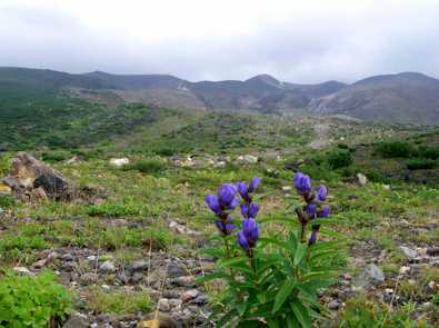
Gentian in Mt. Tokachi
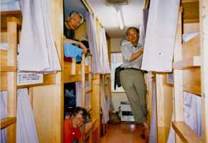
Bed in hakuginsou
Sixth Day, August 10
We moved to Shinchitose airport via Tomita farm and Hokkaido university.
Hakuginsou lodge
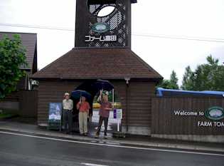 at Tomita Farm |
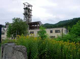 Ruin of coal mine |
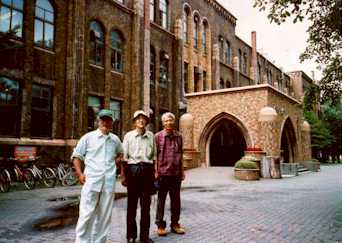
Faculty of Science photo by Kondo
January 4, 2008
Rev. August 9, 2009