Wakwak climbing group attached Mt. Amagi (1406m) in January 2002. They selected it because it is located in the southern part of Izu peninsula and it is not expected to have snow cap in Winter. Mt. Amagi was formed by volcanic eruption, but now it ceased its activity.
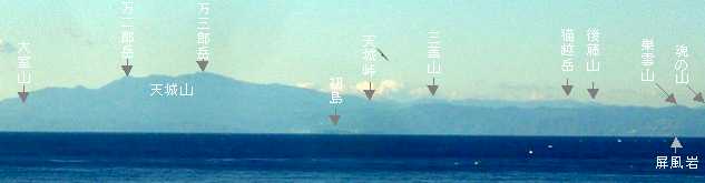
From the terrace of Mr. Greenwood, You can see Mt. Hakone, Mt. Amagi and Mt. Mihara of Oshima Island in a clear winter day. Among them, Mt. Amagi was the last peak he didn't visit in the past.
Mt. Amagi beyond Sagami Bay photo 2005/12/27
First DayStarted climbing from Izu golf course at 9:20. Reached the highest peak at 12:30. Took lunch there and returned starting point at 15:30. It was 16,000 steps.
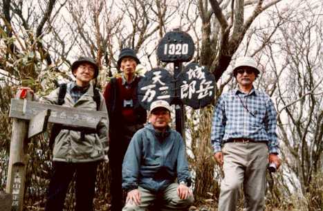
at the peak of Manjiro
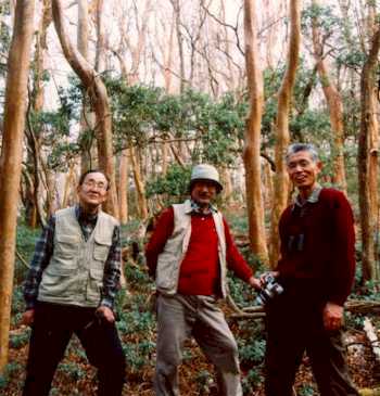
Forest of Himeshara
Stayed at Okawa hot spring.
The Second Day
All members visited Pt. Tsumakizaki for its natural Narcissus field. Mr. Greenwood visited this place in 1999 with his family.
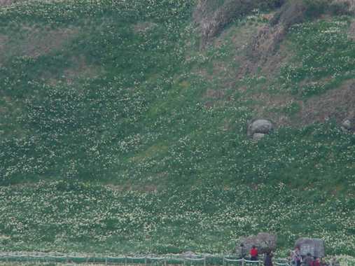
Natural Narcissus Field
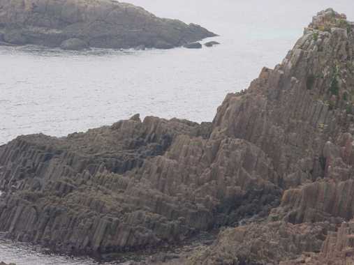
Pillar Stones at Pt. Tsumakizaki
2002/1/14-15
Rev. December 27, 2005