== KANTO PLANE & Musashi Region (including Tokyo) ==

LAST UPDATED : September 22, 2005
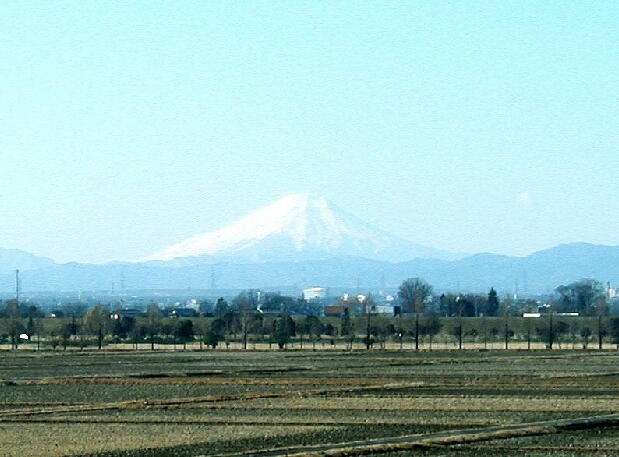
Mt. Fuji
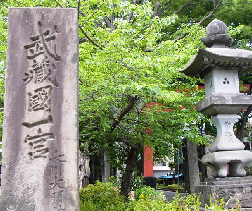
Omiya Shrine
Appendix 2: Mt. Asama
Appendix 3: Arakawa Rainbows
Appendix 4: The Old-Tonegawa River
Appendix 5: Saitama Stadium (for World Cup 2002)
Appendix 6: Kawagoe Line
Appendix 7: Toda Riverside
Appendix 8: Japan's Oldest Soccer-Specific Stadium
Appendix 9: B/W Tokyo and Saitama over Bridge
Appendix 10: Arakawa Watergate B/W Urawa and Shibi
Appendix 11: Urawa Komaba Sports Stadium
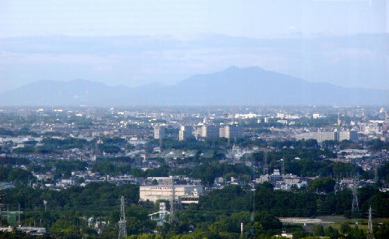
Appendix 12: North Limit of Kanto Plane
Appendix 13: Moto (old) -Arakawa River (on Fault)
Appendix 14: Nagatoro Chute (Upper Arakawa)
☆ NOTICE ☆
For copyright issues and other business-related issues, please contact us at the following
address.
EE-CAMERAMAN: